Wine maps
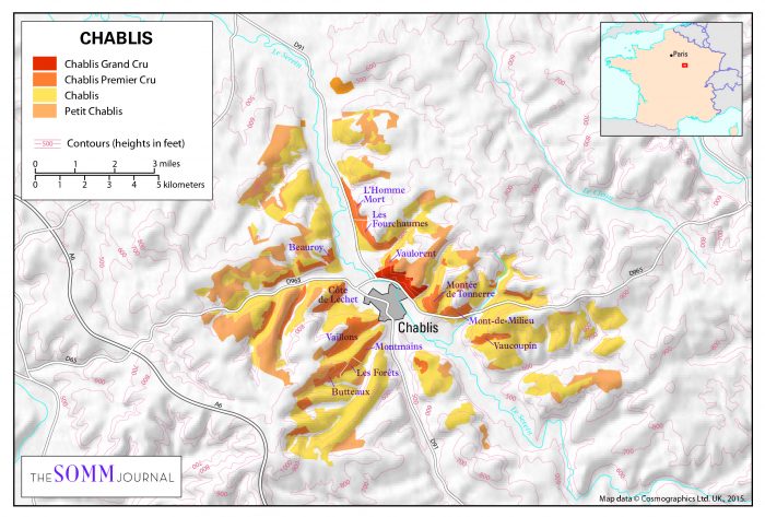
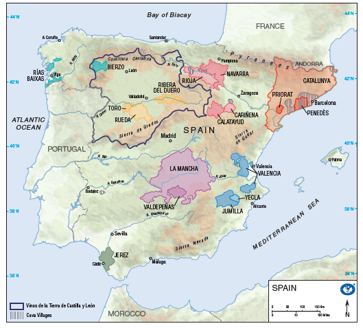
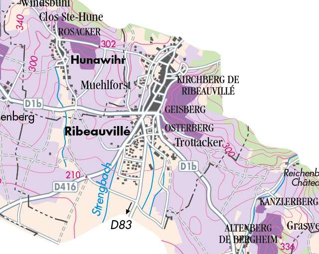
Cosmographics has built a reputation within the wine publishing industry for producing high quality maps. Maps that help explain the role that landscape and climate play in wine regions across the world. We have produced the maps for many prestigeous publications including The World Atlas of Wine, by Jancis Robinson and Hugh Johnson and provide maps to WSET for their publications and also work with the media, distributors and producers. All our maps are designed specifically to suit our customers needs, to help tell their story.
At Cosmographics we produce customised maps for the wine industry

Please contact us providing details of your project, the country, region or location required, their size and exact usage. We will respond with pricing, conditions and delivery times.
Projects include
We have an archive of wine country maps and wine region maps that can be customised to suit your needs. We can use our own data or your own information to provide bespoke wine maps to meet your specific requirement.
- Publishing – educational books, atlases, wallmaps, posters, calendars (WSET, World Atlas of Wine, Wines of India and Laithwaites)
- Media and advertising – magazines and newspapers (Somm Journal, and The Tasting Magazine)
- Websites – The Wine Society, Napa Valley Wine Academy and WSET
- Brochures and advertising campaigns – Liberty wines, Laithwaites and The Wine Society
- Wine tasting events – The Wine Society, Laithwaites and various other events
- Wine tours

WINE Maps for PUBLISHERS
We work closely with the publisher, author and book designer to create bespoke maps that can bring the text to life and help explain
why geology, landscape and climate is such an influence on the wine produced.

Wine tasting Events
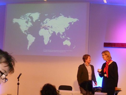
Maps make a useful aid for any wine tasting event. Maps for use in the tasting booklet, monochrome maps that can be copied and used many times over or maps for a presentation . We have it covered.

